
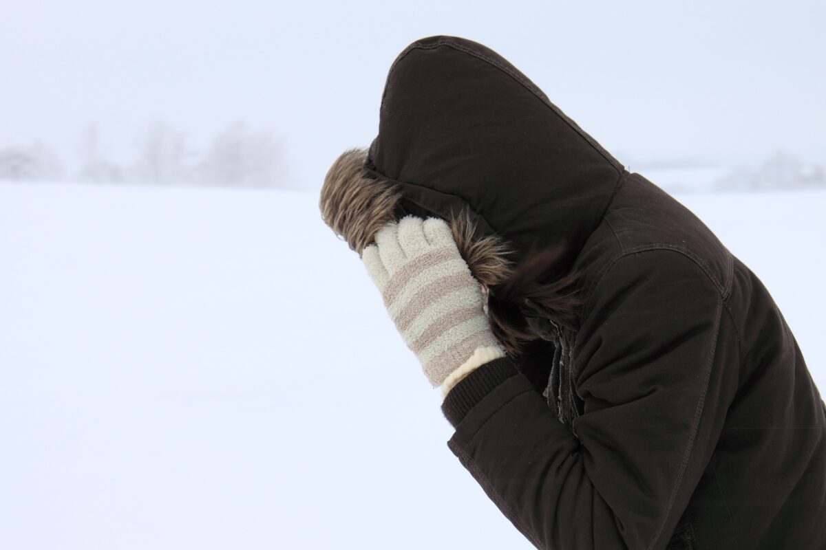
An amber severe weather warning for snow and ice has been issued for Shropshire this weekend.
After another cold night, an area of low pressure will move into the UK from the southwest on Saturday.
Initially this will bring rain before turning increasingly to snow as it bumps into the cold air over the UK through the late afternoon and through the evening into Sunday.
Snow will accumulate through the evening and into Sunday before turning to rain. As the snow turns to rain, there is a risk of freezing rain, a dangerous weather phenomenon which sees rain freezing instantly when it reaches the surface causing dangerous icy conditions.
Snow and freezing rain
Met Office Chief Forecaster Jason Kelly, said: “This weekend will bring a range of weather hazards to the UK, notable snow accumulations, freezing rain, ice and heavy rain as well as some gusty conditions.
“We have issued a number of severe weather warnings, including Amber warnings for snow and ice in parts of England and Wales. Some significant accumulations of snow are possible across parts of Wales, the Midlands and northern England in particular, where 5 cm or more could accumulate fairly widely, with as much as 20-30 cm over high ground of mid and north Wales and potentially 30-40 cm over parts of the Pennines. This, accompanied by strengthening winds, may lead to drifting of lying snow.”
As the milder air moves northwards, snow may turn to a spell of freezing rain for a time. Jason continued: “There is a risk of freezing rain across parts of the Midlands and northern England, but especially Wales, adding to the risk of ice and leading to some treacherous conditions in places. As the supercooled rain droplets hit the surface they instantly freeze, covering everything in a layer of ice, making it extremely dangerous.”
Travel disruption
National Highways Severe Weather Resilience Manager, Darren Clark, said: “If you are travelling this weekend, keep your distance and reduce your speed. Gritters will be out treating our roads around the clock when ice or snow is forecast, but it is still important to drive to the conditions.
“Even in conditions that seem normal and where the snow is not settling you could always experience slippery conditions.
“Drivers should plan their journeys, check their vehicles, monitor weather reports and pack a snow kit of blankets, food, water and a shovel.”
Snow thaw brings further flood risk
As the milder air moves in after the snow, a fairly rapid thaw of lying snow is possible later on Sunday, although exactly how far north the rapid thaw will reach remains uncertain at this stage.
This may bring an additional flood risk as the snow melt enters already saturated catchments. Flood warnings and alerts are already in place for Shropshire, and flood defences are in place at Frankwell in Shrewsbury.


 Shropshire Live is regulated by